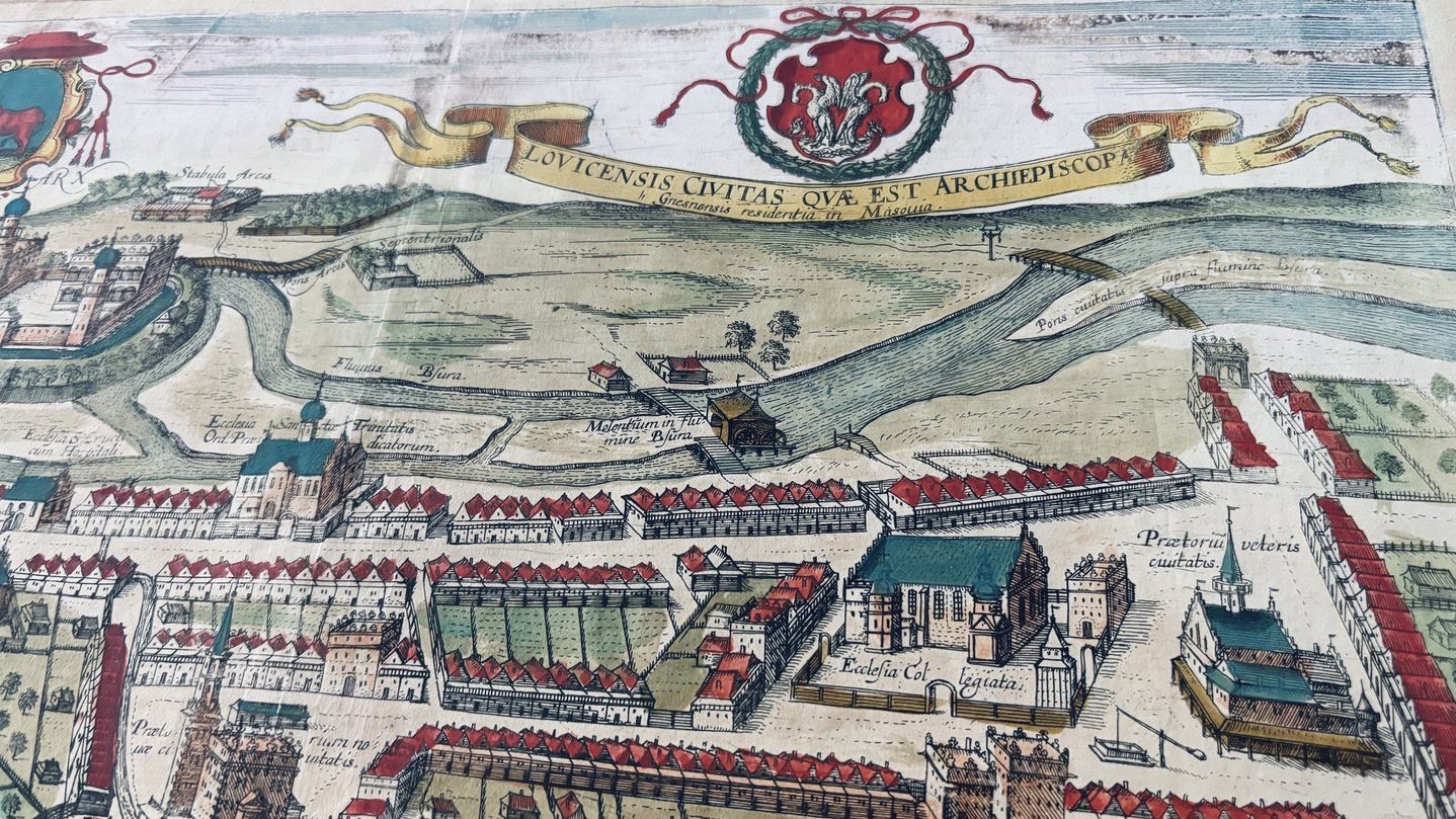
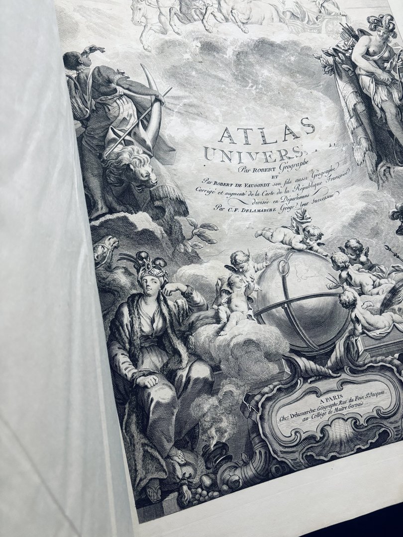
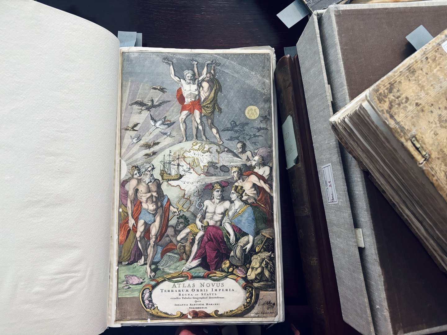
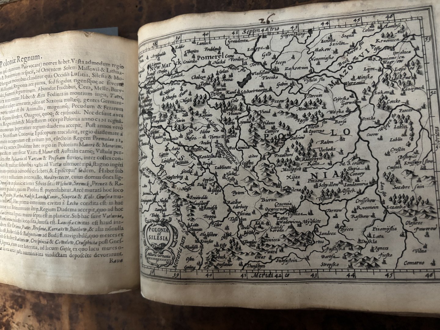
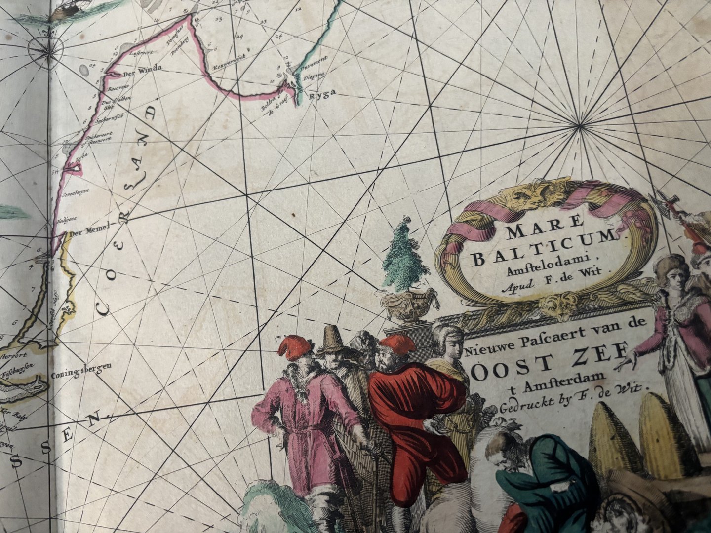
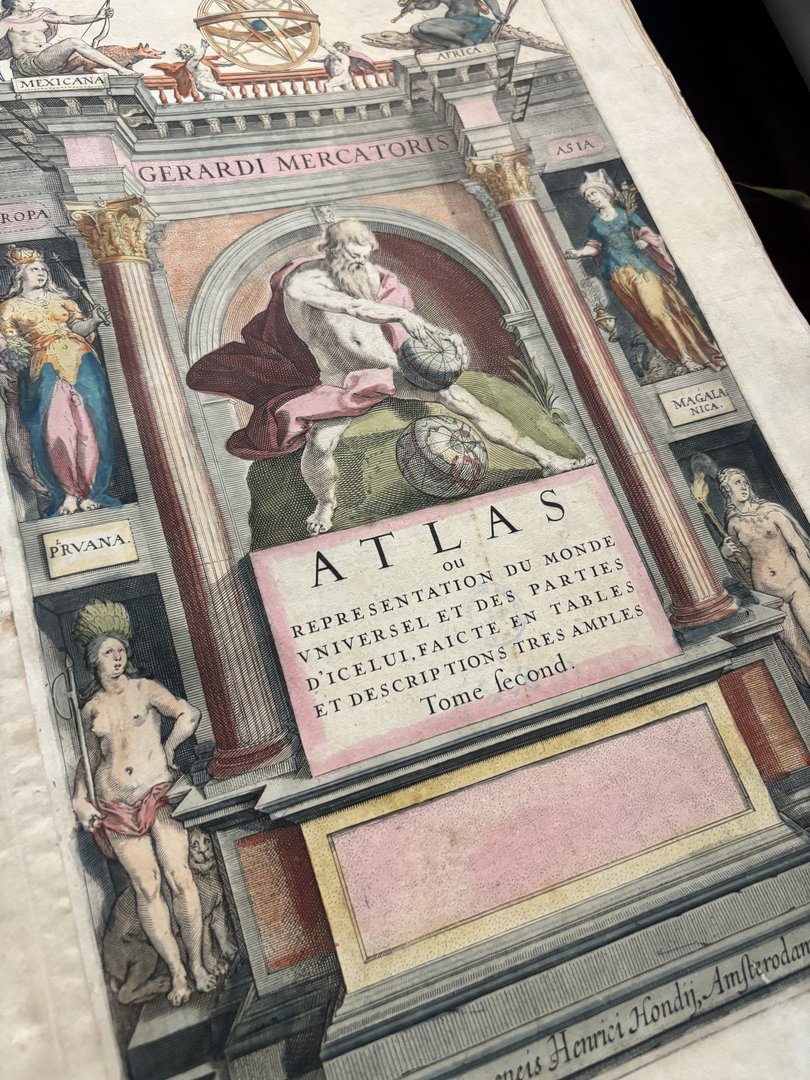
The exhibition will showcase maps, atlases and geographical works dating from the 15th to the 19th century. There will be cartographic studies of the Polish lands and selected regions of Europe, city panoramas, as well as historical artefacts documenting the development of European cartography among the exhibits.
The objects on display constitute a representative selection from the cartographic collections of the University of Lodz Library, illustrating the richness and diversity of historical cartography.
Visitors will have the opportunity to view items associated with the work of leading figures in European cartography, including Gerard Mercator, Wacław Grodecki, Frederik de Wit, Martin Hellwig, and Johann Baptist Homann, representing different cartographic centres and traditions.
The exhibition demonstrates how geographical knowledge, perceptions of states and cities, and methods of representing space evolved over the centuries in the work of cartographers and publishers.
The exhibition opening, combined with a curator-led tour, will take place on 17 September 2026 at 9:00 a.m. at the University of Lodz Library.